Bildegalleri
(1/2)
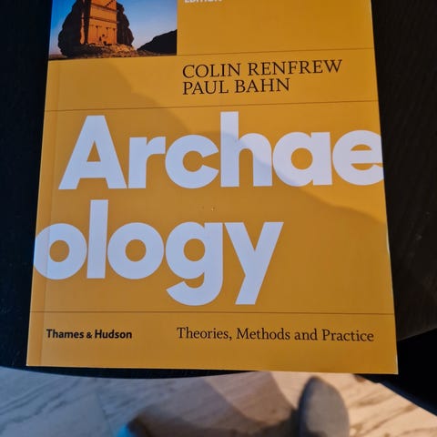
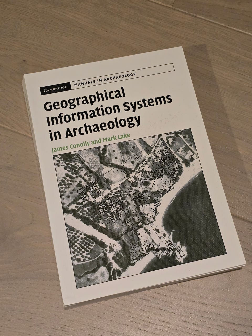
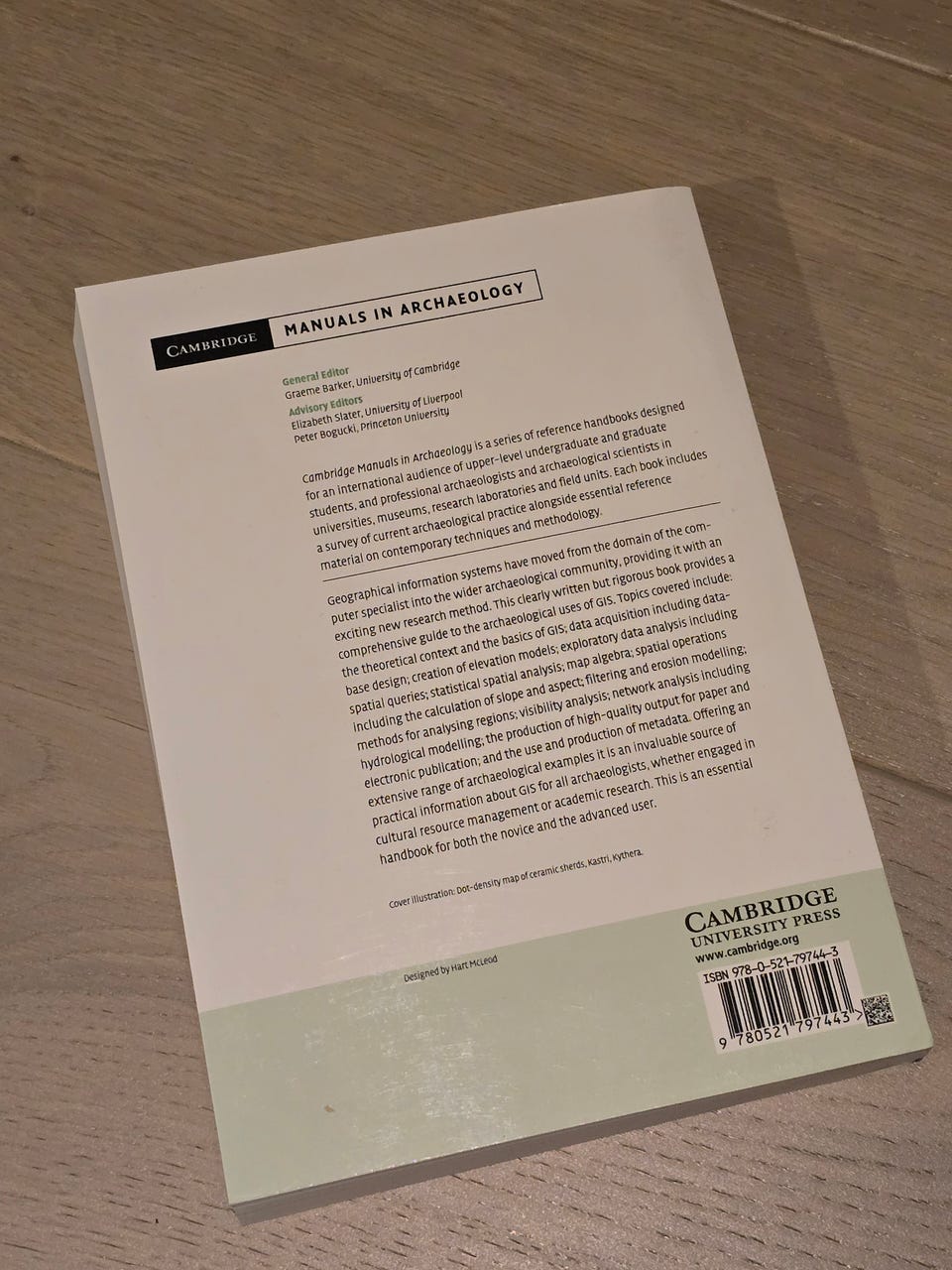
Geographical Information Systems in Archaeology
Til salgs
400 kr
Frakt fra 69 kr + Trygg betaling 46 kr
Trygg handel med Fiks ferdig
Etter levering har du 24 timer til å se over varen. Hvis det er noe galt med varen, får du pengene dine tilbake.
Beskrivelse av varen
Tilstand: Som ny - Ikke synlig brukt
Emne: Informasjonsteknologi
Lite brukt og ingen merker innvendig
"Geographical Information Systems has moved from the domain of the computer specialist into the wider archaeological community, providing it with an exciting new research method. This clearly written but rigorous book provides a comprehensive guide to that use. Topics covered include: the theoretical context and the basics of GIS; data acquisition including database design; interpolation of elevation models; exploratory data analysis including spatial queries; statistical spatial analysis; map algebra; spatial operations including the calculation of slope and aspect, filtering and erosion modeling; methods for analysing regions; visibility analysis; network analysis including hydrological modeling; the production of high quality output for paper and electronic publication; and the use and production of metadata. Offering an extensive range of archaeological examples, it is an invaluable source of practical information for all archaeologists, whether engaged in cultural resource management or academic research. This is essential reading for both the novice and the advanced user."
NB: Knappen for å vise hele beskrivelsen har kun en visuell effekt.
Brukerprofil

Du må være logget inn for å se brukerprofiler og sende meldinger.
Logg innAnnonsens metadata
Sist endret: 18.4.2026 kl. 21:41 ・ FINN-kode: 460439687