Fiks ferdig
Frakt fra 99 kr + Trygg betaling 181 kr
Varen sendes til deg, og du har 24 timer til å inspisere den før pengene overføres til selgeren.
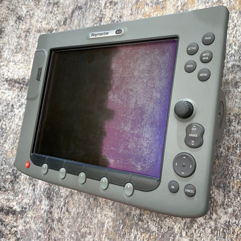
Tilstand: Godt brukt - Synlig brukt
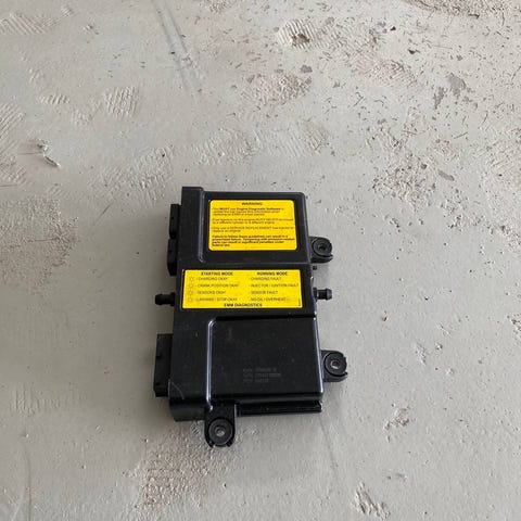
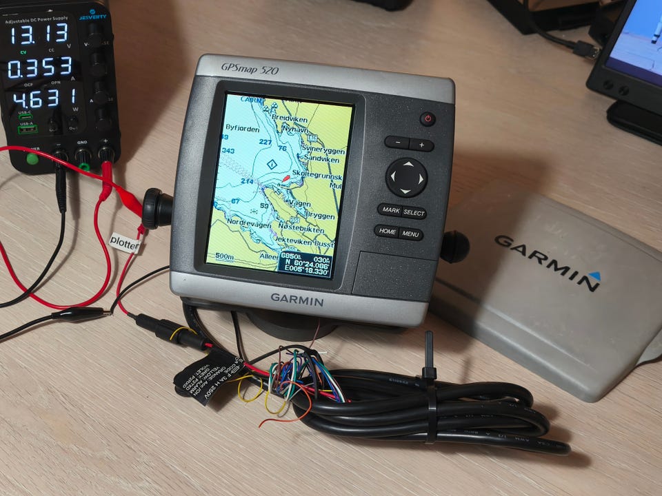
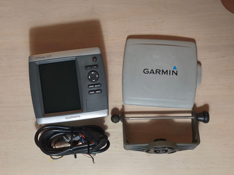
Garmin GPSmap 520 kartplotter som kom med båt en min selges. Vet ikke utrolig mye om denne, men virker som en god plotter. Baksiden har mistet litt fargen i solen, men soldeksel er brukt, og fronten ser bra ut.
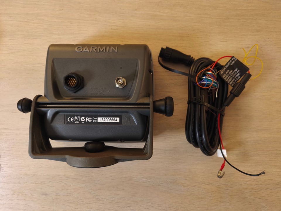
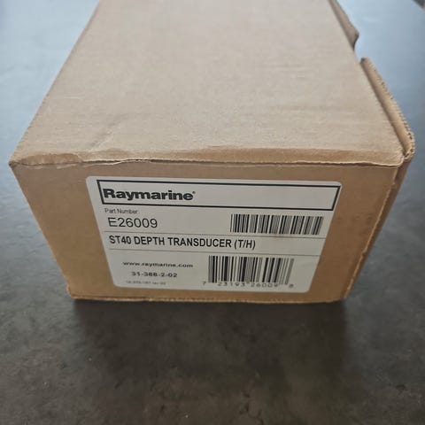
Feste, Soldeksel, kart og kabel følger med.
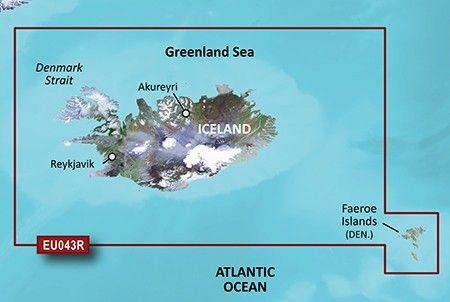
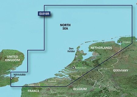
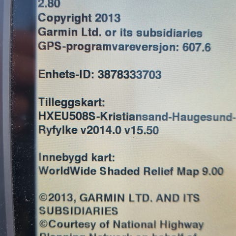
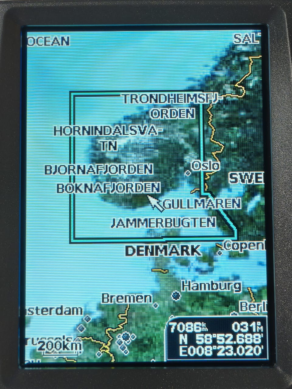
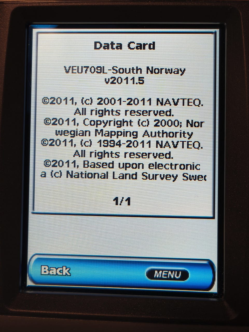
SD Kort med sjøkart VEU709L sør norge 2011, se bilde for dekning
2x NMEA Porter
Tror den kan kobles til ekkolodd, men litt usikker på hvordan dette fungerer
Massevis av visninger, forskjellige splitter og 3d visning etc. Kan blande inn flyfoto blandt annet.
Brukermanual finner du her:
https://static.garmincdn.com/pumac/1590_NOBrukermanual.pdf
Her er fra Garmin sin(arkiverte)side
This slim-line chartplotter flush-mounts easily in your boat and boasts an ultra-bright 5” (12.7 cm) QVGA display. The GPSMAP 520 also sports a built-in, satellite-enhanced worldwide basemap and simple, straightforward buttons and menus. You can add the optional BlueChart® g2 Vision® SD™ card for even more enhanced features.
Navigate with Ease
With just a few buttons and a simple, intuitive interface, the GPSMAP 520 makes navigating virtually effortless. And instead of a traditional basemap, the 520 has a basemap of worldwide satellite images. It also has an SD card slot so you can add additional detailed maps without connecting to a computer.
Add Sonar
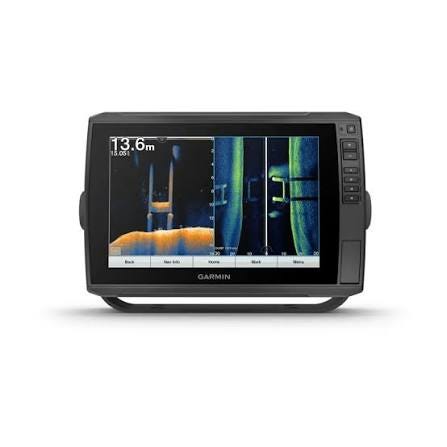
Where applicable, the sounder version, GPSMAP 520s, comes with a powerful dual frequency transducer that clearly paints depth contours, fish targets and structure whether you’re fishing in freshwater or off the coast. The 520 and 520s also are CANet® compatible, so you can share sounder data with another chartplotter on your boat.
Add Extras with BlueChart g2 Vision
With the optional BlueChart g2 Vision SD card, you can add a whole new dimension of exceptional features to your chartplotter.
MarinerEye view and FishEye view provide you a 3-D perspective of map information, both above and below the waterline.
High-resolution satellite images and aerial photographs help you orient yourself in unfamiliar areas.
Auto Guidance technology searches through all relevant charts to create a route you actually can follow — one that avoids obstacles, shallow water, buoys and other obstructions.
For a low cost option try BlueChart g2 cards.
,
This slim-line chartplotter flush-mounts easily in your boat and boasts an ultra-bright 5” (12.7 cm) QVGA display. The GPSMAP 520 also sports a built-in, satellite-enhanced worldwide basemap and simple, straightforward buttons and menus. You can add the optional BlueChart® g2 Vision® SD™ card for even more enhanced features.

Du må være logget inn for å se brukerprofiler og sende meldinger.
Logg innSist endret: 21.1.2026 kl. 12:58 ・ FINN-kode: 447006450